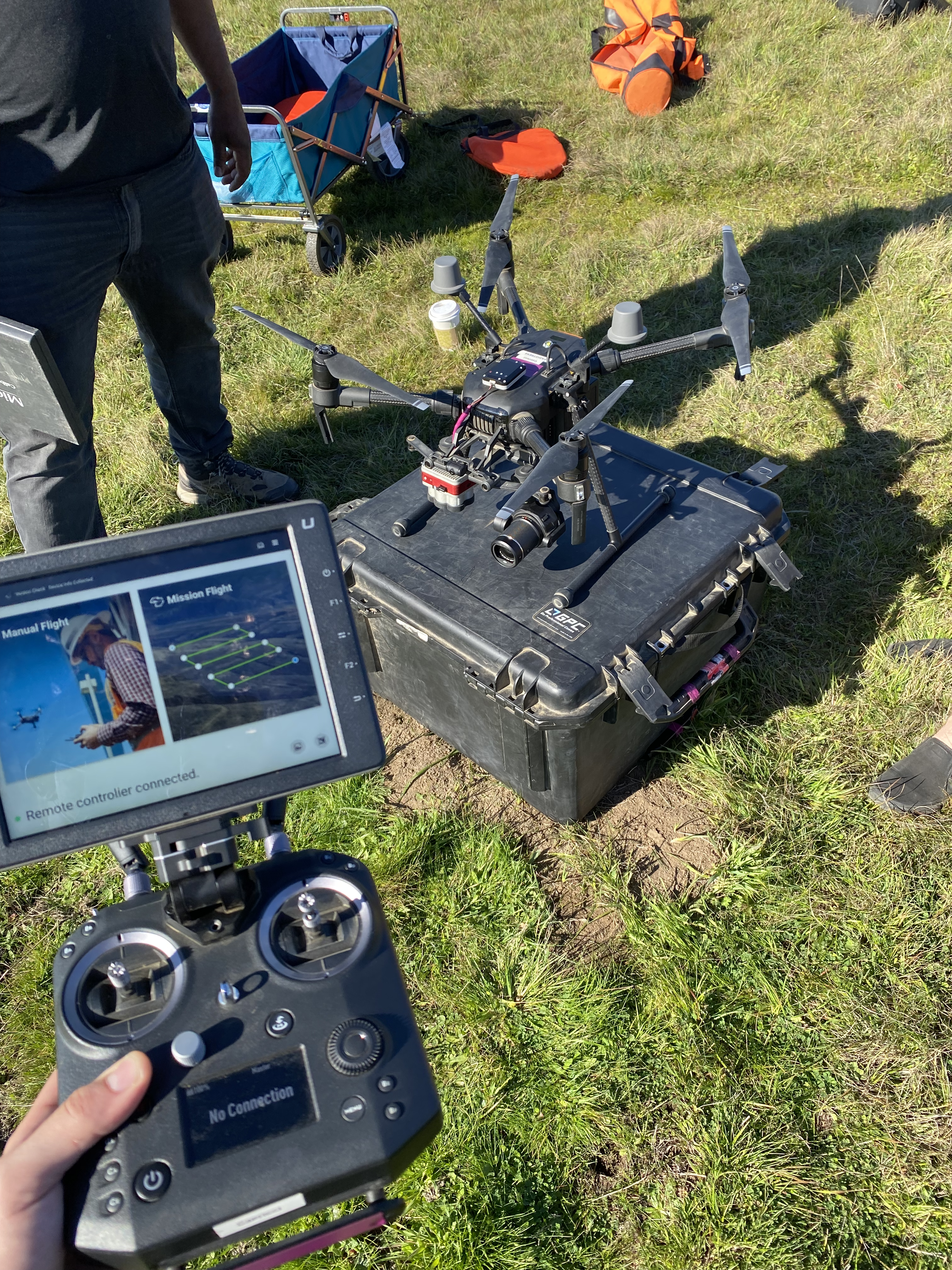
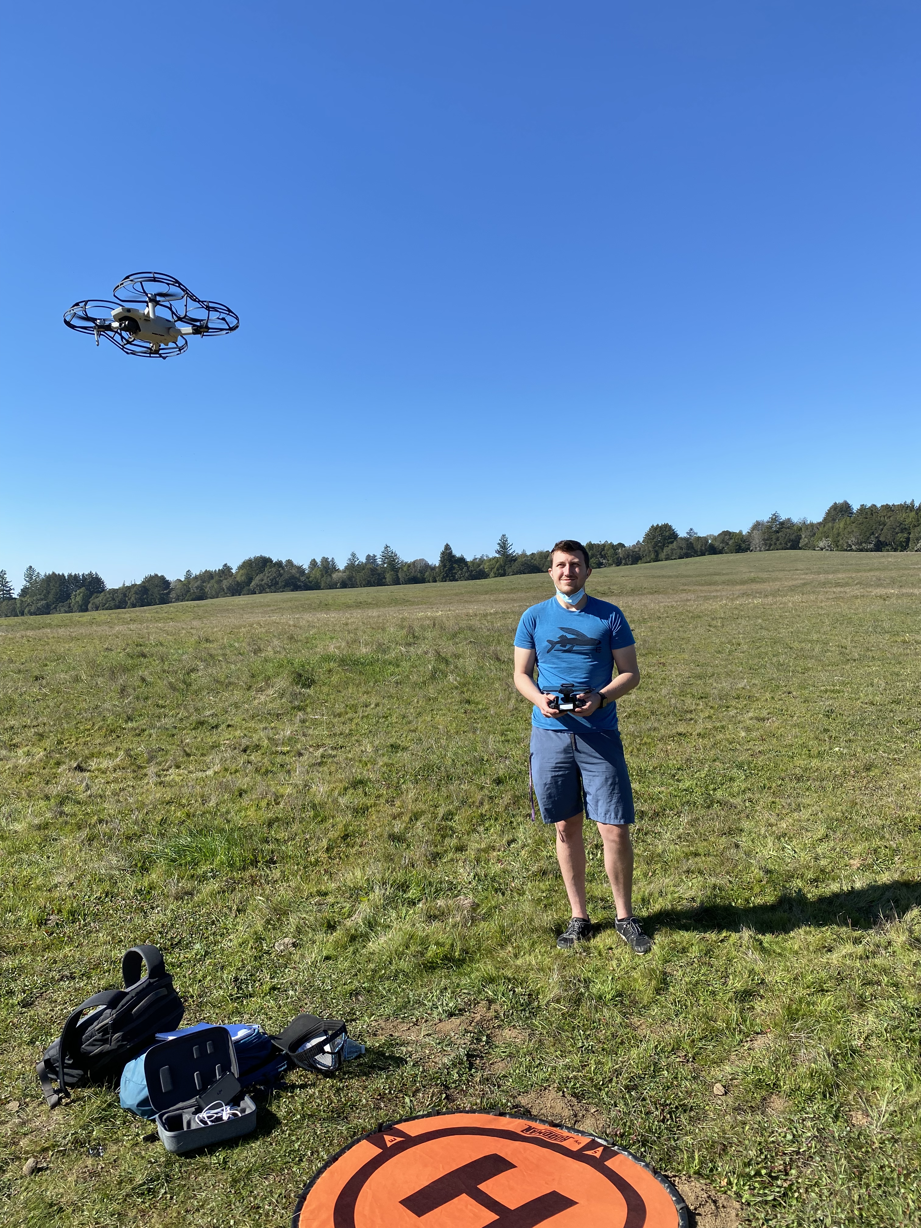
In the Winter quarter of 2022 I was able to take part in a drone training program that was partnered with UCSC and funded by the
CITRIS and the Banatao Institute to teach students how to fly various drones, take data, plan autonomous missions, and earn their
part 107 Remote pilot's license.
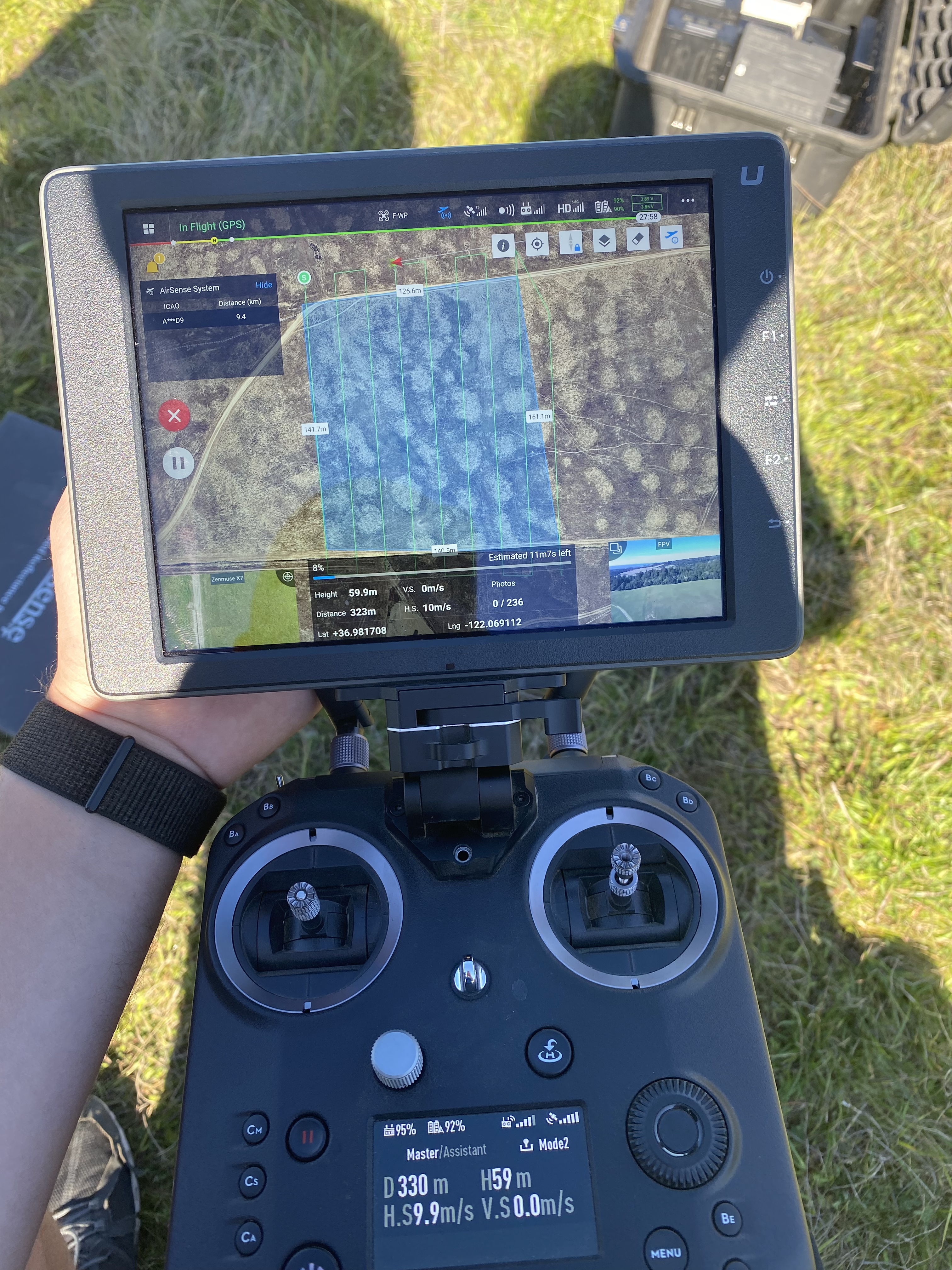
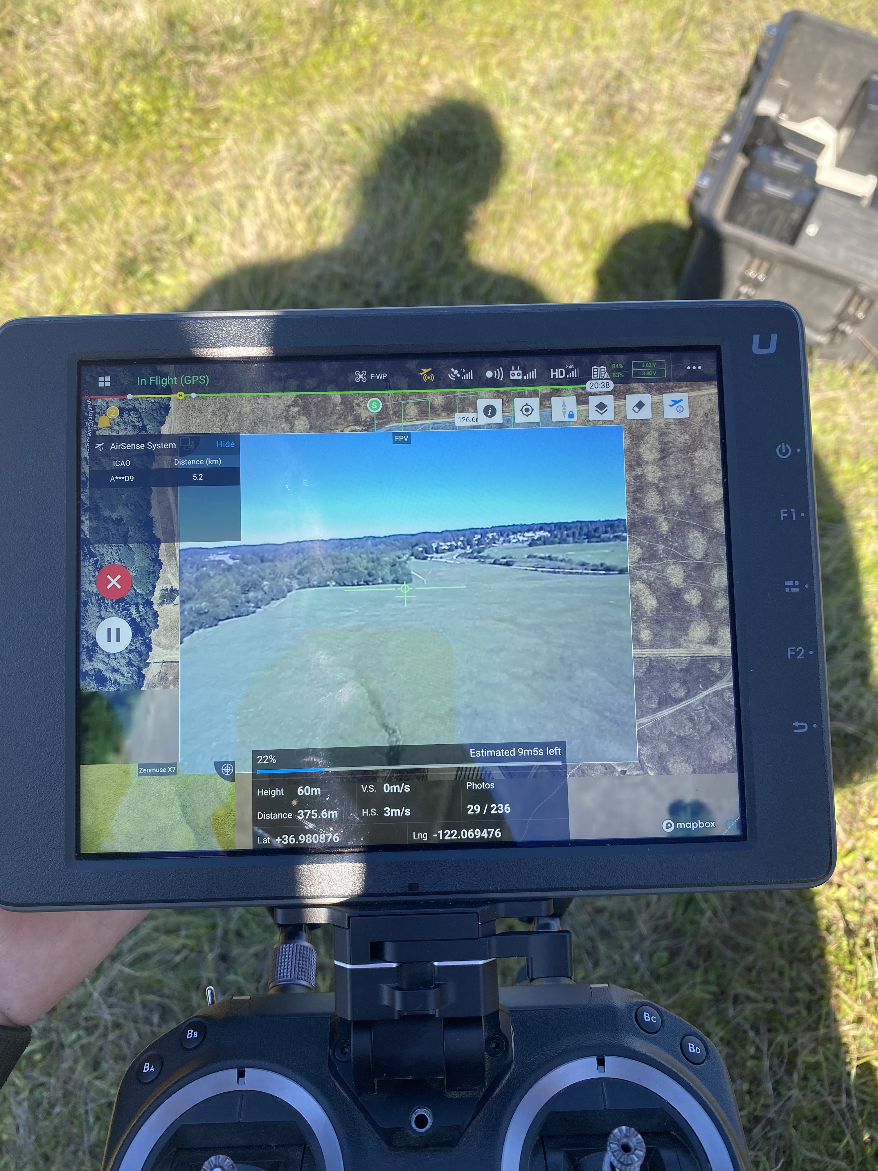
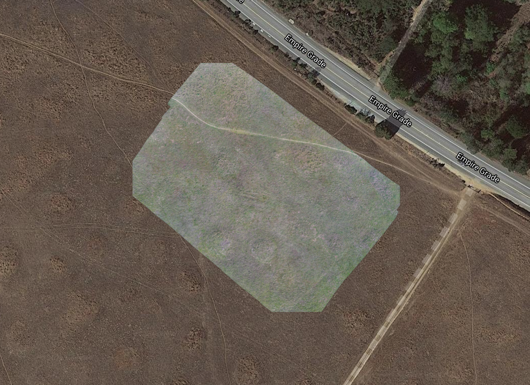
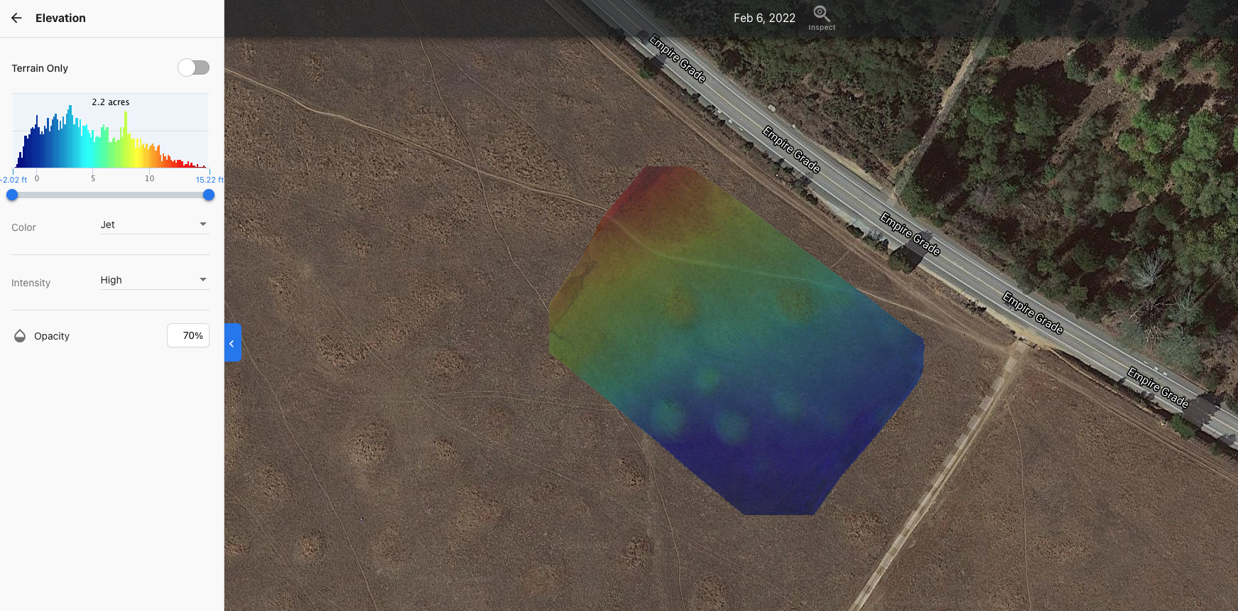
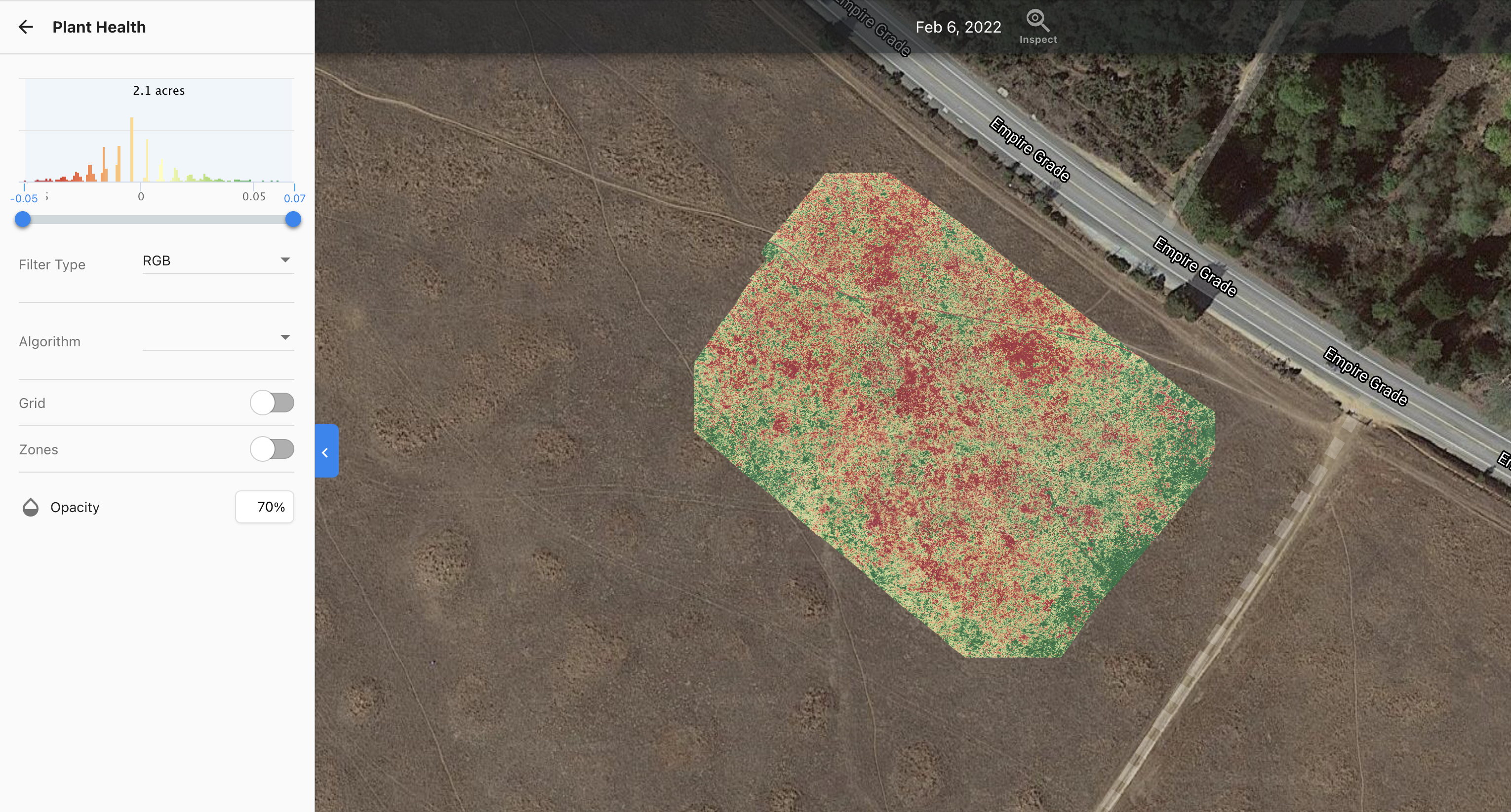
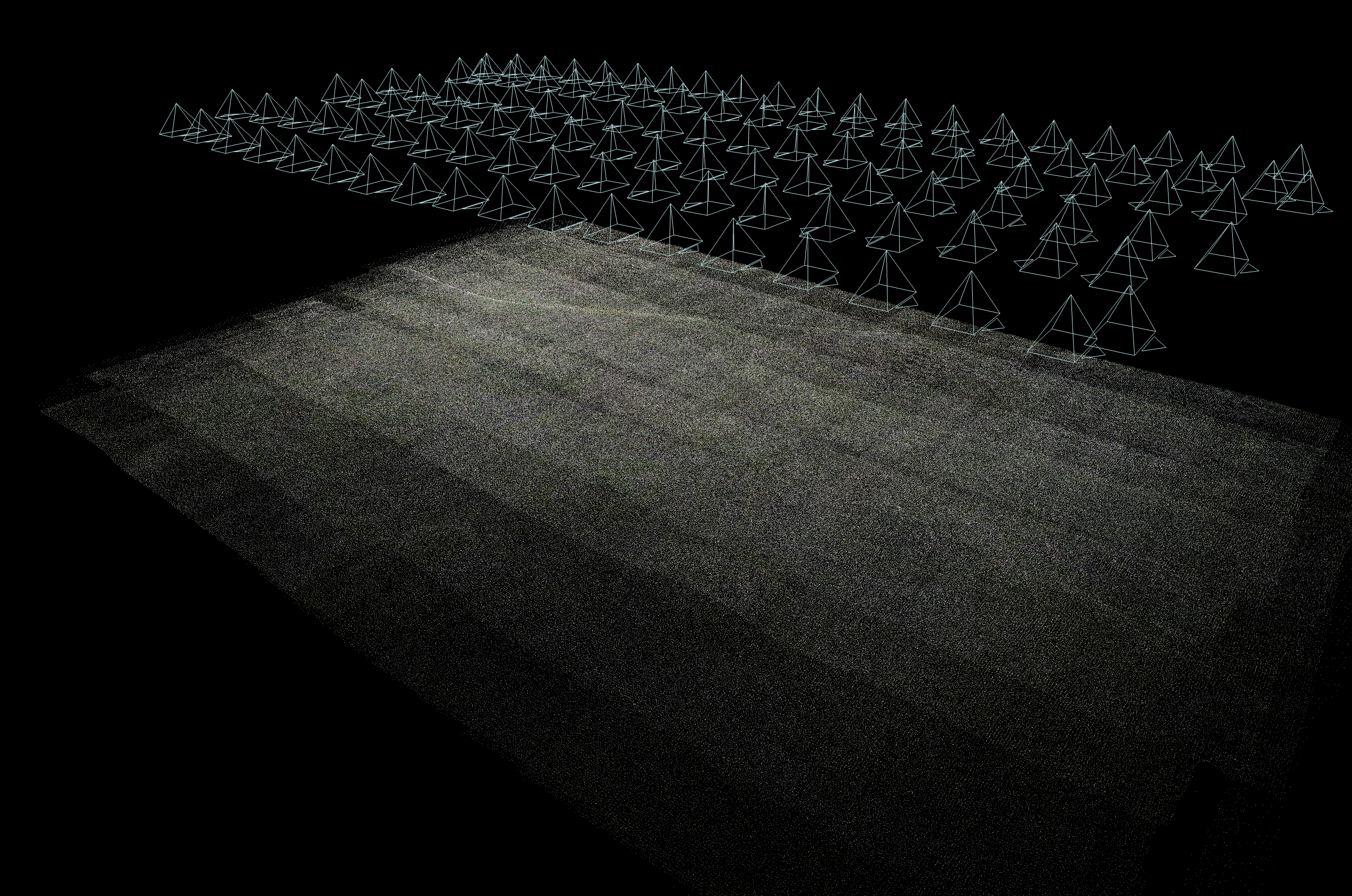
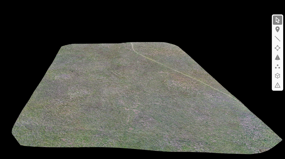
Below I have images of one of the many flights we did which allowed us to collect photogrammerty data in a app called
Drone Deploy. This program allows you to plan flights on a google earth view and upload
those flights directly to the compatible drone to fly, take images at a certian altitude (for even cm/px resolution), and stick the
images together for a final result. The flight is completely autonomous and will takeoff and land for you.